The Great Plains meet the Rocky Mountains in Wyoming. The state is a great plateau broken by many mountain ranges. Surface elevations range from the summit of Gannett Peak in the Wind River Mountain Range, at 13,804 ft. (4,207 m), to the Belle Fourche River valley in the state's northeast corner, at 3,125 ft. (952 m). In the northwest are the Absaroka, Owl Creek, Gros Ventre, Wind River, and the Teton ranges. In the north central are the Big Horn Mountains; in the northeast, the Black Hills; and in the southern region the Laramie, Snowy, and Sierra Madre ranges.
The Snowy Range in the south central part of the state is an extension of the Colorado Rockies both in geology and in appearance. The Wind River Range in the west central part of the state is remote and includes more than 40 mountain peaks in excess of 13,000 ft. (4,000 m) tall in addition to Gannett Peak, the highest peak in the state. The Big Horn Mountains in the north central portion are somewhat isolated from the bulk of the Rocky Mountains.
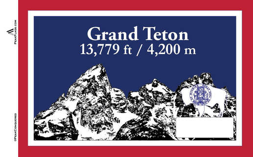
The Teton Range in the northwest extends for 50 miles (80 km), part of which is included in Grand Teton National Park. The park includes the Grand Teton, the second highest peak in the state.
Grand Teton...is the highest point of the Teton Range, and the second highest peak in the U.S. state of Wyoming after Gannett Peak.
|

