Mexico is crossed from north to south by two mountain ranges known as Sierra Madre Oriental and Sierra Madre Occidental, which are the extension of the Rocky Mountains from northern North America. From east to west at the center, the country is crossed by the Trans-Mexican Volcanic Belt also known as the Sierra Nevada. A fourth mountain range, the Sierra Madre del Sur, runs from Michoacán to Oaxaca.
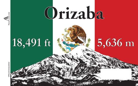
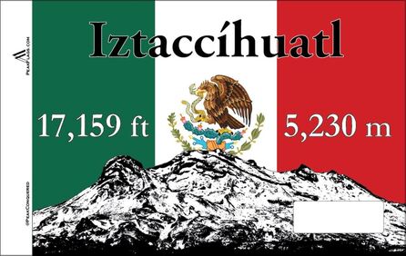
The majority of the Mexican central and northern territories are located at high altitudes, and the highest elevations are found at the Trans-Mexican Volcanic Belt: Pico de Orizaba 18,701 ft (5,700 m), Popocatépetl 17,920 ft (5,462 m), Iztaccihuatl 17,343 ft (5,286 m), and the Nevado de Toluca 15,016 ft (4,577 m). Three major urban agglomerations are located in the valleys between these four elevations: Toluca, Greater Mexico City, and Puebla.
The majority of the Mexican central and northern territories are located at high altitudes, and the highest elevations are found at the Trans-Mexican Volcanic Belt: Pico de Orizaba 18,701 ft (5,700 m), Popocatépetl 17,920 ft (5,462 m), Iztaccihuatl 17,343 ft (5,286 m), and the Nevado de Toluca 15,016 ft (4,577 m). Three major urban agglomerations are located in the valleys between these four elevations: Toluca, Greater Mexico City, and Puebla.


